Anyone ErfgoedApp the ErfgoedApp today will discover not only heritage sites, stories, and images, but also some remarkable historical maps. One of these map layers is theFerraris map—a virtually complete map of the Austrian Netherlands from the 1770s. The fact that this map can now be viewed digitally with such sharpness and accuracy is thanks to a titanic effort behind the scenes.
From an 18th-century map to a digital masterpiece
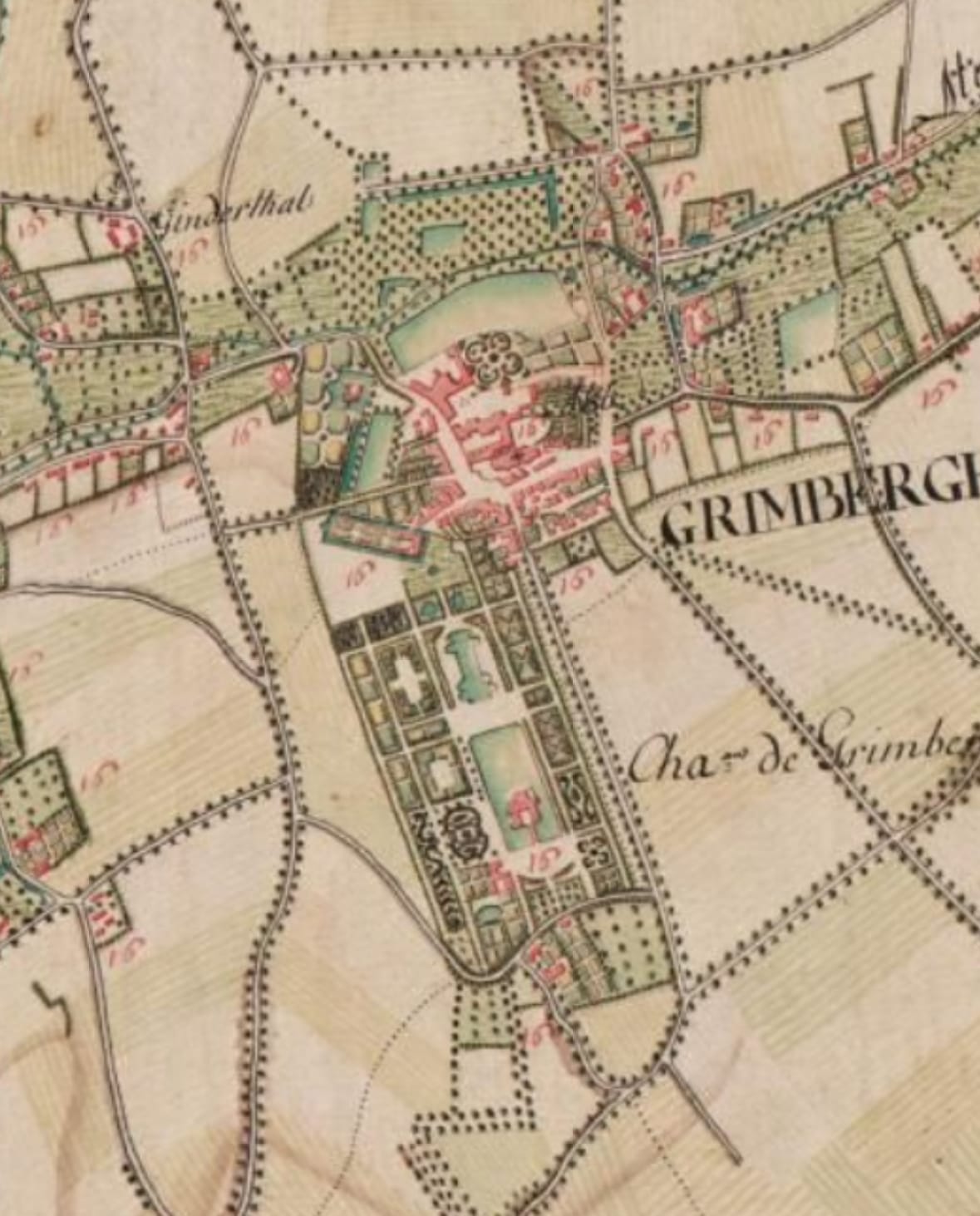
The original Ferraris maps are carefully preserved in theRoyal Library of Belgium (KBR)in Brussels. They consist of hundreds of hand-drawn sheets created around 1771-1778 on behalf of Count Joseph de Ferraris. Before these maps could be made available online, they first had to bedigitally documented, scanned, and reconstructed.
Digitization is carried out using high-resolution scanners that capture every fold, discoloration, and brushstroke. All map sheets are then digitally assembled into one large whole. However, the work does not end there: the map must also be"georeferenced"—linked to modern coordinates so that it fits exactly onto the current map.
Georeferencing: 35,000 points to straighten everything out
This georeferencing was a painstaking task. Digitaal Vlaanderen and researchers manually markedmore than 35,000 control points—such as intersections, churches, rivers, or recognizable landscape features that are visible on both the Ferraris map and modern maps. Any deviations were corrected using a reference method developed in-house.
Thanks to this meticulous work, old roads, village centers, and landscape features blend surprisingly well with the current topography. This is what makes the Ferraris map unique: you can literally see how the landscape was shaped in the past and which structures are still recognizable today.
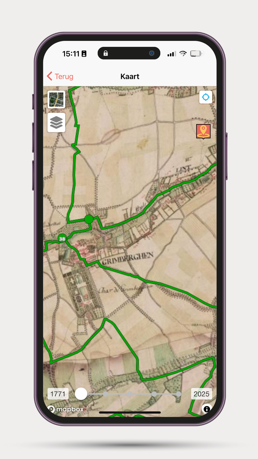
How do you view the Ferrari map in the ErfgoedApp?
The ErfgoedApp this heritage accessible to a wide audience. All you have to do is:
ErfgoedApp the ErfgoedApp ,
press the map icon,
A time slider appears at the bottom that allows you to go back in time.
The Ferraris map is the oldest map layer available in the ErfgoedApp a journey back to the 18th century. Other historical maps that you can discover in the app are the Atlas der Buurtwegen (1841), Vandermaelen (1846-1854), and Popp (1842-1879). The Ferraris map is the most special, with the most details. You can immediately see what your street, village, or favorite walking spot looked like almost 250 years ago. You can also activate additional map layers on the map, such as heritage locations and cycling or walking junctions.