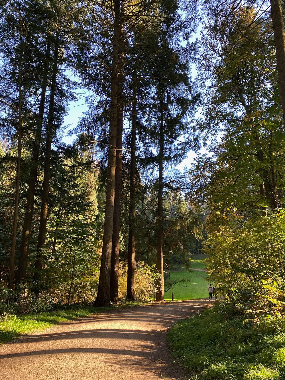
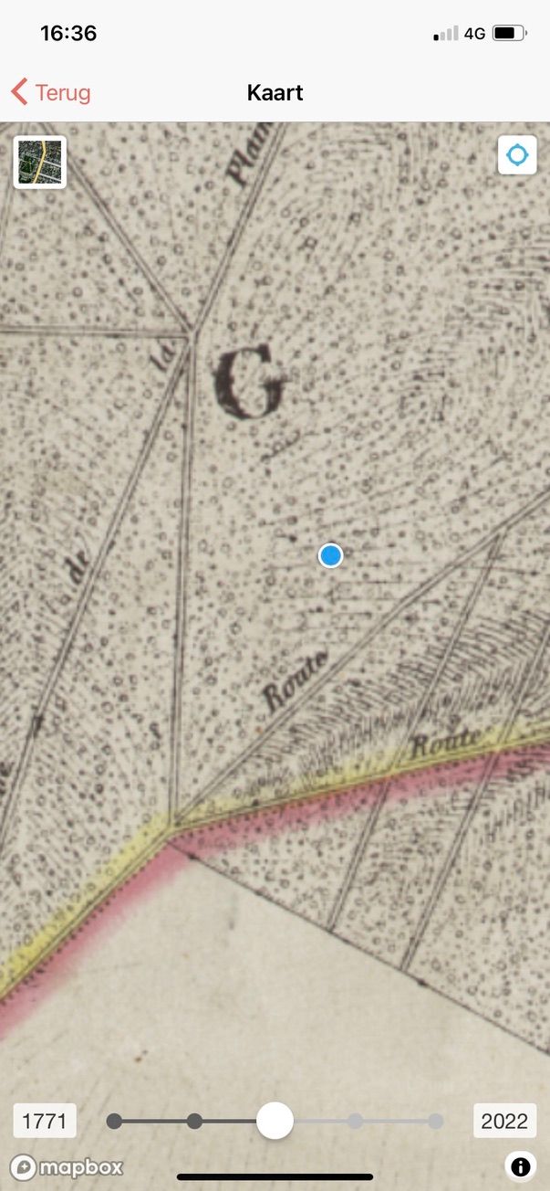
We are in the middleof 'Forest Week', an ideal time to explore nature in your neighborhood. Do you ever wonder whether the forest you are walking through was already there in the 19th or even the 18th century? Historical maps can answer that question. But where can you find them? The answer is simple: in the ErfgoedApp! The map embedded in the ErfgoedApp you ErfgoedApp easily consult these historical maps. We tested it ourselves in the Sonian Forest, more specifically in the Tervuren arboretum.
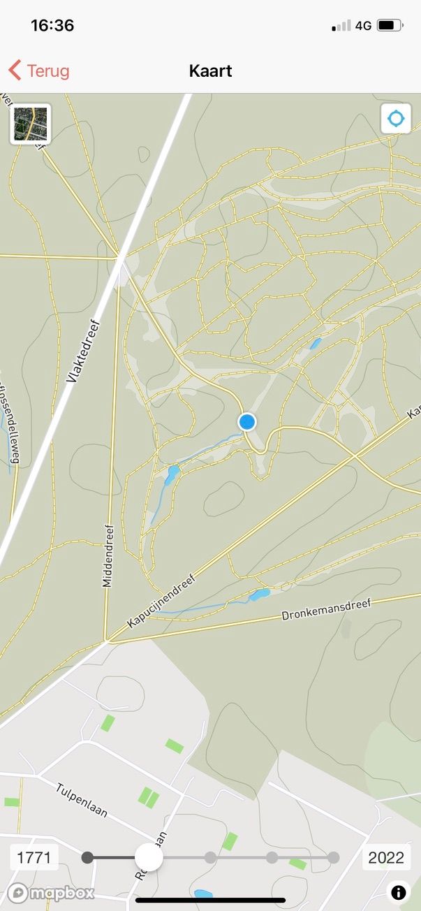
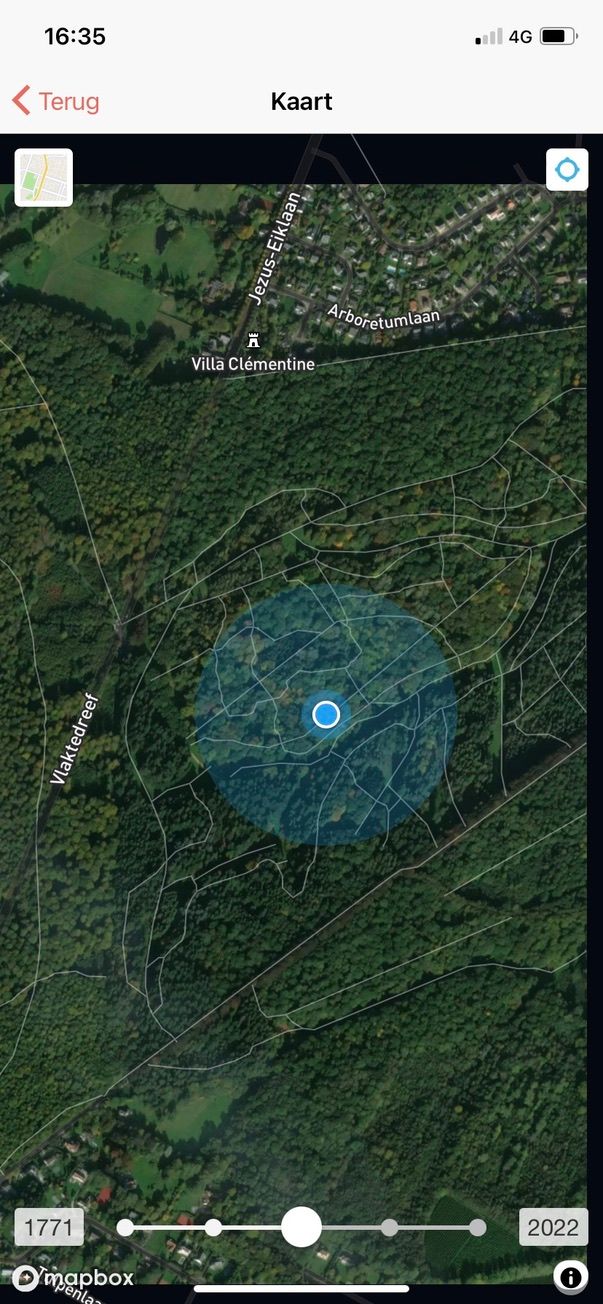
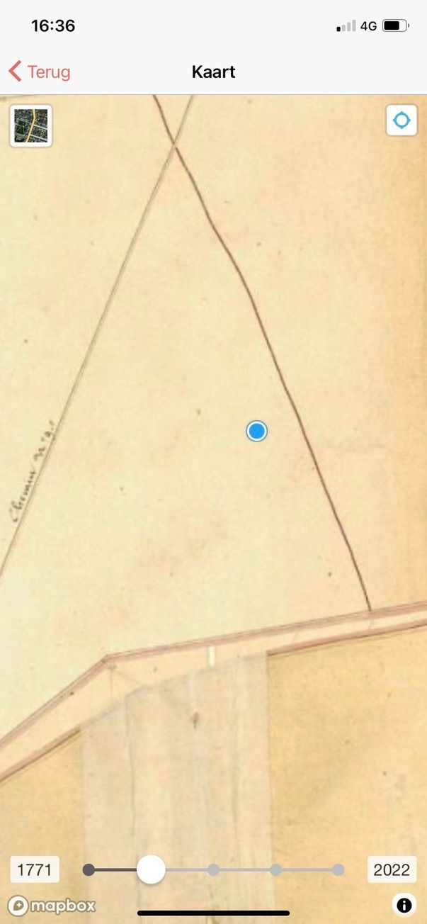
First, we open the regular map; the blue dot indicates where we are. We explore the area via satellite and then move the slider at the bottom to the left. This allows us to literally take a step back in time, until we arrive at the highly detailed Ferrari map (1771-1778). And yes, even then we would have been standing here among the trees!
A few more examples...
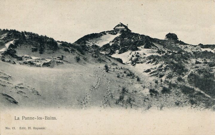
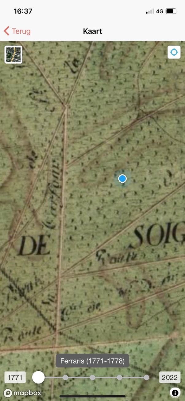
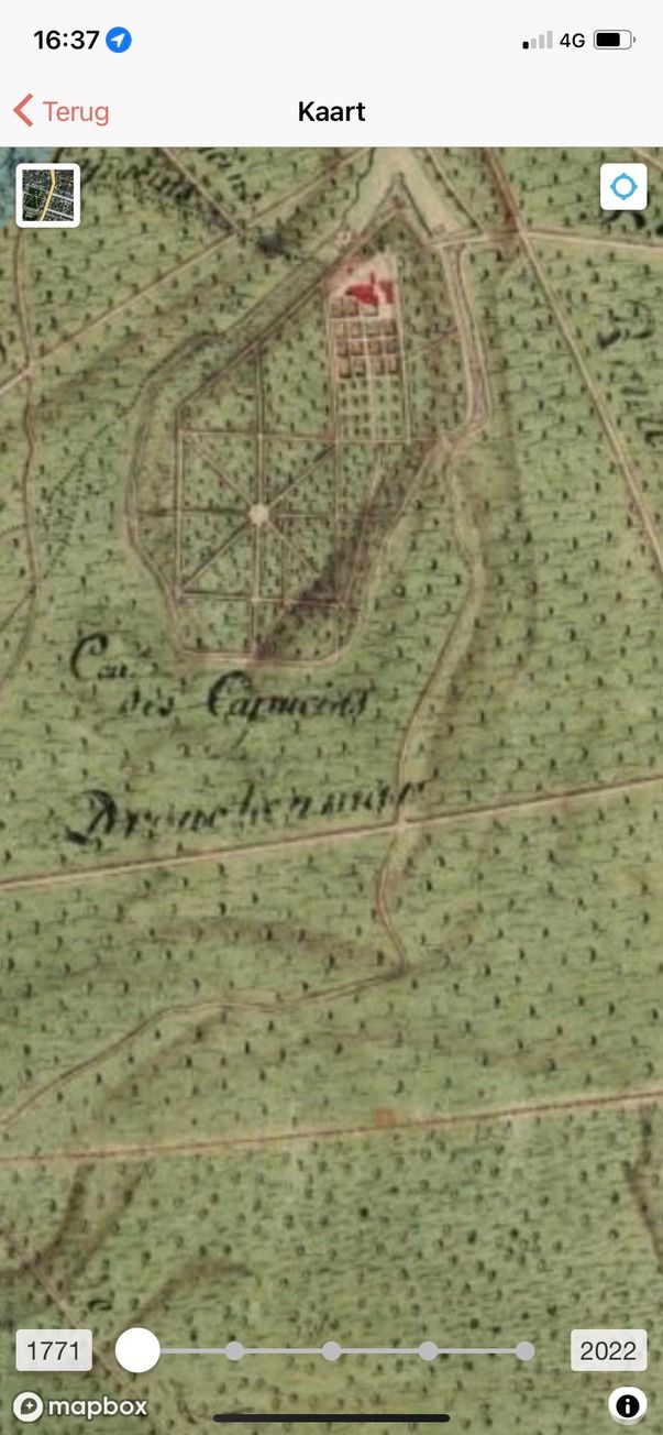
Capuchin monastery (Tervuren)
On the Ferrari map, we can also see the Capuchin monastery of Tervuren, which no longer exists today.
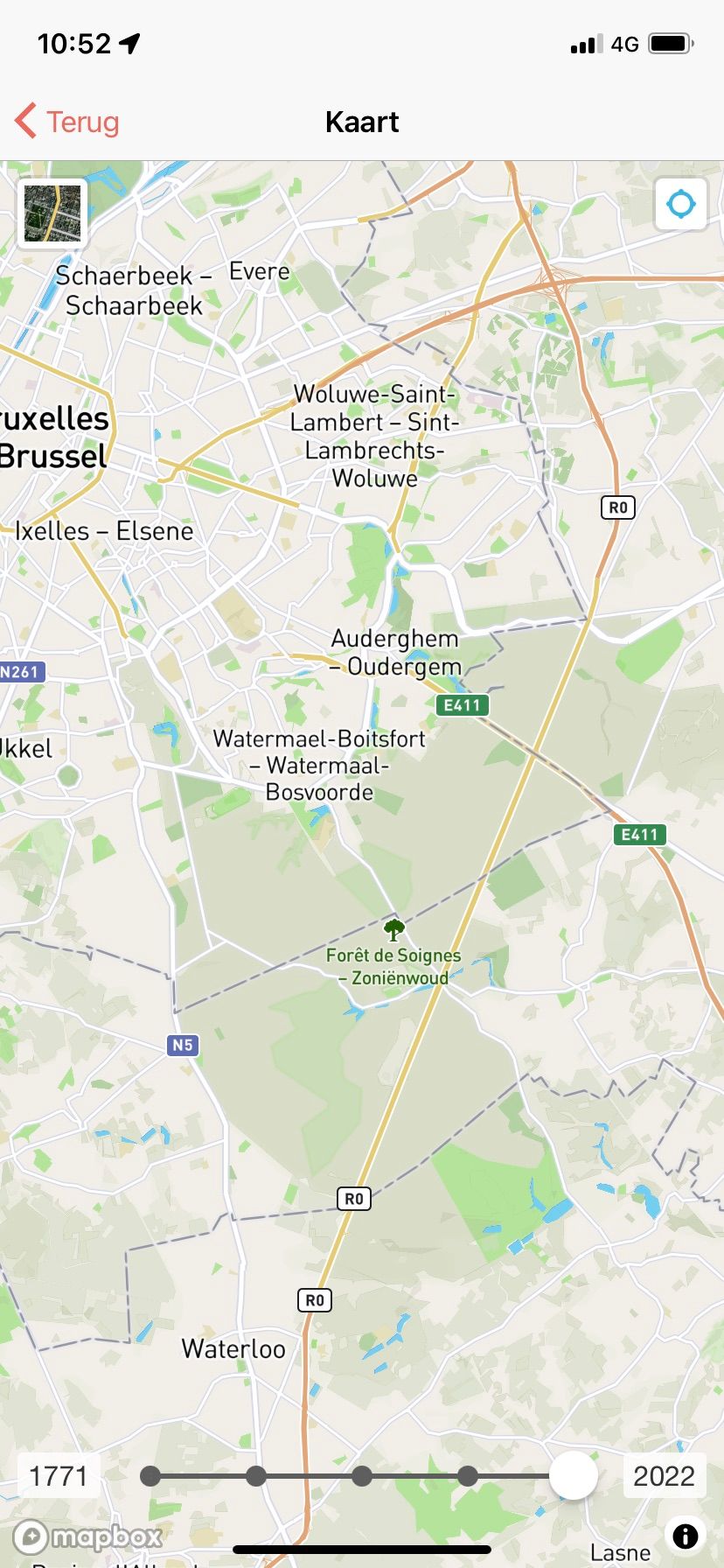
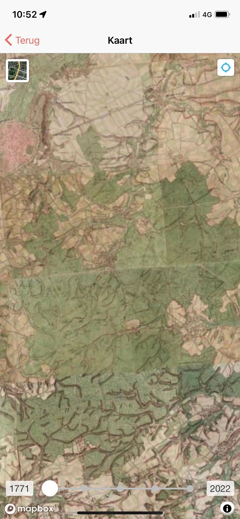
Let's zoom out to Brussels for a moment...
At the top left, you can see Brussels. On the Ferrari map, you can see that the forest used to be even more extensive, but you can also recognize the shape of the current forest.
Feel free to try it out when you're in the woods yourself...