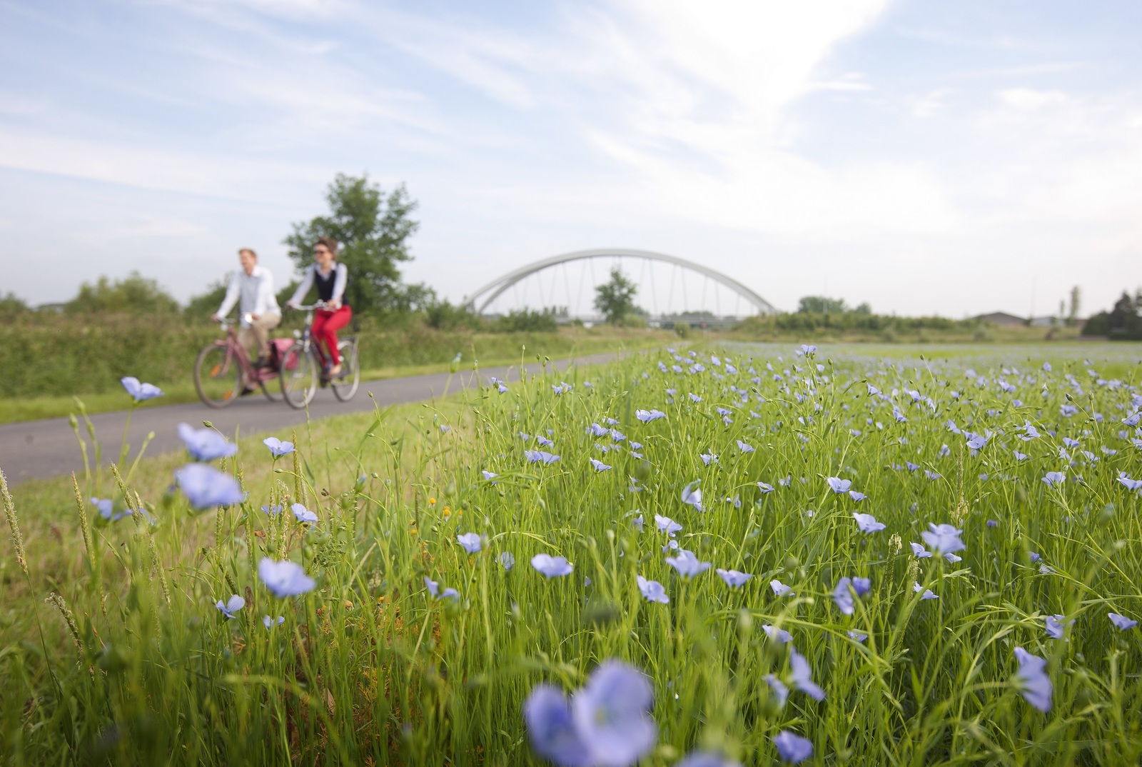
Schansenroute in Scherpenheuvel-Zichem

Deze fietst of wandeltocht neemt je mee langs de zes boerenschansen van Scherpenheuvel-Zichem.
Dit is een initiatief van de gemeente Hulshout, Herselt, Scherpenheuvel-Zichem, Tessenderlo, Laakdal en Westerlo de lokale heemkringen en de IOED de Merode n.a.v. de Archeologiedagen 2022.
Wat zijn boerenschansen?
De Tachtigjarige Oorlog (1568-1648) breekt aan in het Merodegebied, de inwoners gaan zich verschansen in o.a. versterkte steden of kerken. Boeren die op een gehucht woonden verder weg van zulke beschermingsplaatsen gaan zelf een vluchtschans of boerenschans oprichten om zichzelf en hun vee te beschermen tegen invallende troepen. Een boerenschans is een stuk grond waarrond de gemeenschap gezamenlijk een omwalling en brede gracht aanbracht. Een ophaalbrug verschafte de toegang tot de schans. Eenvoudige schuilplaatsen werden opgericht op de schans, alsook ontstonden er schansenhuisjes. Het leven op de schans was georganiseerd door een schansenreglement; in tijden van nood moest men immers onmiddellijk reageren en was discipline een zaak van leven of dood.
Meer info via https://www.cultuurenerfgoeddemerode.be/projecten/archeologiedagen-20-21-en-22-mei-2022
Bronnen:
- Auteurs: Kjell Corens en David Swinnen
- Corens, K. Kasteel Hoevebeemden in Testelt, Averbode, 2009.
- Minnen, B. Het hertogdom Aarschot onder Karel van Croÿ 1595-1612 (Albums de Croÿ XXVII), Brussel, 1993.
- Van Ermen, E. De wandkaarten van het Hertogdom Aarschot 1759-1775, Brussel, 1998.
- Van Ermen, E. Het kaartboek van Averbode 1650-1680, Brussel, 1997.
- Van Ermen, E. Kaartboek van de abdij van Park, Brussel, 2000.
📏 29,5 km
📍 Dienst Toerisme, Openbare ruimte, Basilieklaan,16, Scherpenheuvel-Zichem
🏁 Dienst Toerisme, Openbare ruimte, Basilieklaan,16, Scherpenheuvel-Zichem